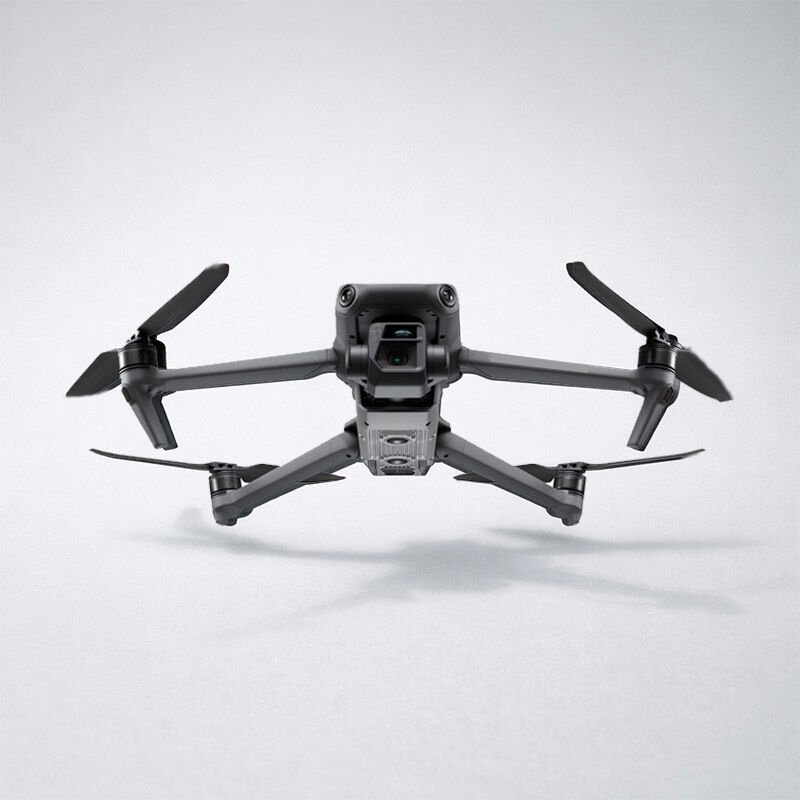
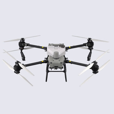
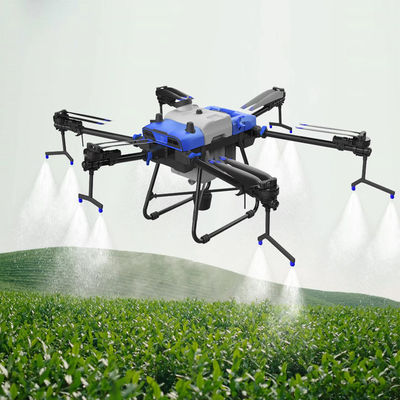
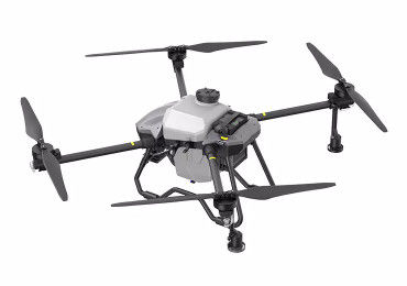
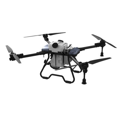
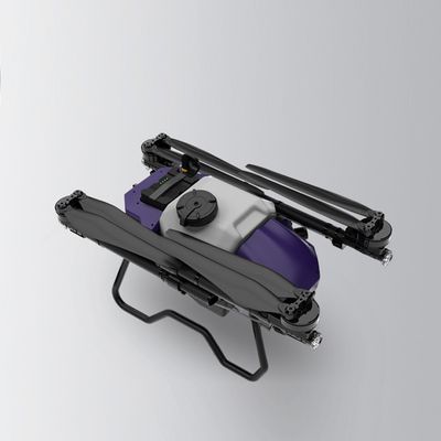
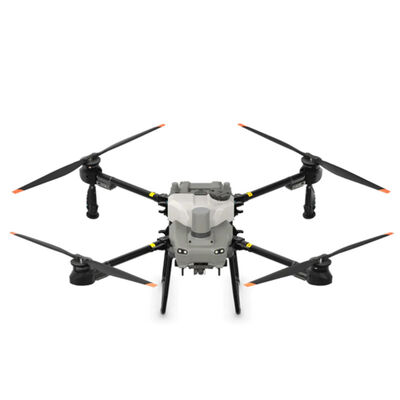
The ZAi-M3E is a compact, high-efficiency drone platform designed for fast deployment and precise aerial data collection. Combining portability with professional-grade imaging and positioning capabilities, it is well-suited for field teams that need reliable performance without the complexity of larger systems.
Equipped with an advanced camera system and high-precision positioning, the ZAi-M3E delivers consistent results across mapping, inspection, and public safety operations. Its lightweight design allows operators to deploy quickly, making it especially effective for time-sensitive missions or work in constrained environments.
With a focus on stability, clarity, and ease of use, the ZAi-M3E helps professionals capture actionable data while maintaining a streamlined workflow.
Key Features
- Compact & Rapid Deployment
Lightweight and foldable design for easy transport and quick setup in the field.
- High-Resolution Imaging System
Delivers sharp, detailed visuals for inspection and mapping tasks.
- Precision Positioning Support
Enhanced positioning accuracy for reliable data capture.
- Stable Transmission
Strong signal performance for consistent control and real-time image feedback.
- Efficient Flight Performance
Optimized for extended missions while maintaining portability.
- User-Friendly Operation
Intuitive controls designed for both experienced pilots and growing teams.
Specifications
| Item |
Specification |
| Model |
ZAi-M3E |
| Aircraft Type |
Compact Foldable Enterprise Drone |
| Weight |
Approx. 900–950 g |
| Max Flight Time |
Up to 45 minutes (no wind conditions) |
| Camera Sensor |
4/3 CMOS Wide Camera |
| Effective Pixels |
Approx. 20 MP |
| Mechanical Shutter |
Supported |
| Positioning System |
GNSS (GPS, GLONASS, Galileo, BeiDou) |
| Max Transmission Distance |
Up to 15 km (unobstructed, interference-free) |
| Max Speed |
19 m/s |
| Wind Resistance |
Up to 12 m/s |
| Operating Temperature |
-10°C to 40°C |
| Storage |
Internal + expandable microSD |
| Battery Type |
Intelligent flight battery |
| Charging Time |
Approx. 70–90 minutes |
In The Box
- ZAi-M3E Aircraft *1
- Remote Controller *1
- Intelligent Flight Battery *1
- Charging Adapter *1
- Propellers (Pairs) *3–4
- Gimbal Protector *1
- Carrying Case *1
- Cables & Accessories *1 set
- User Manual & Quick Start Guide *1
Applications
The ZAi-M3E is designed for efficient, on-the-go operations across industries:
- Surveying & Mapping
- Infrastructure & Asset Inspection
- Construction Site Monitoring
- Public Safety & Rapid Response
- Environmental Observation
Why Choose ZAi-M3E
The ZAi-M3E offers a balance between portability and professional capability. It allows teams to respond quickly, collect accurate data, and operate with confidence in a wide range of scenarios. For organizations that value efficiency without sacrificing performance, it’s a practical and dependable aerial solution.
FAQs
Is the ZAi-M3E suitable for mapping projects?
Yes, the combination of a high-resolution sensor and mechanical shutter makes it particularly effective for mapping tasks, helping reduce distortion and improve data consistency.
How portable is the drone for field work?
Its foldable design and lightweight structure make it easy to carry in a small case or backpack, ideal for teams that need mobility throughout the day.
What kind of image quality can I expect?
The camera system captures sharp, detailed images with accurate color reproduction, making it suitable for inspection, documentation, and analysis.
Can it be used in urban or confined environments?
Yes, its compact size and stable flight control allow it to operate safely in tighter spaces compared to larger platforms.
How long does it take to get ready for flight?
In most cases, setup takes just a few minutes. This makes it well-suited for rapid-response scenarios where time is critical.
Is it beginner-friendly for new operators?
While designed for professional use, the controls are intuitive enough for operators with basic drone experience to get started quickly.